Featured Projects
Web Development
A public transportation routing web application built with React, Node.js, Python, and PostgreSQL that utilize RAPTOR routing algorithm on GTFS data to compute efficient routes across 3,000+ transit stops and 150+ bus routes of San Francisco.
The EcoWave mobile app is a community-driven solution developed for the Google Solution Challenge built with React Native, Expo, Google Maps API, and Firestore. It enables users to report and address coastal and terrestrial issues, contributing to the United Nations' Sustainable Development Goal 14 (Life Below Water) and 15 (Life on Land).
Computer Graphics
An immersive and interactive Virtual Reality (VR) experience that allows users to learn how to inspect, assemble, and replace ball bearings in a mechanical workshop environment.
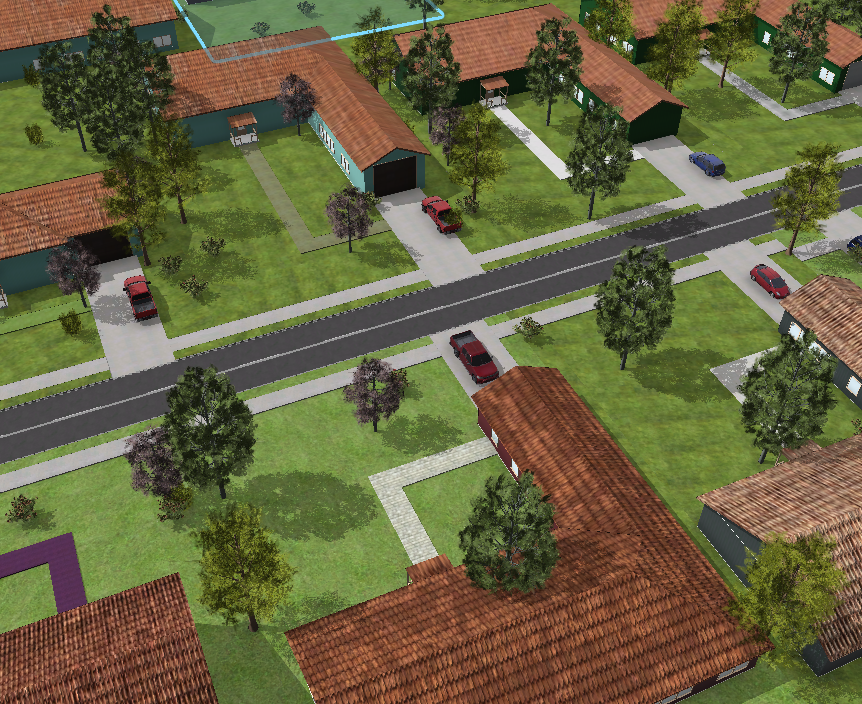
A 3D virtual environment generated in Unreal Engine using real-world data from Corvallis, Oregon. The model captures diverse landscapes including natural areas (grasslands, woodlands, scrub), land uses (farmland, farmyards), and suburban housing. The ultimate goal is to showcase the integration workflow as a case study of the integration of GIS and Graphics to motivate further research and use cases in building the digital twin.
A planet generator implemented using a tetrahedron subdivision algorithm to generate terrain on spherical surfaces. A simplified model of biome classtification is applied to assign dynamic color based on the biome (tundra, hot/cold dessert, forest,...) to simulate how natural conditions shape our environment.
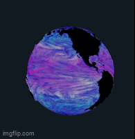
In this project, I used 2D Line Integral Convolution (LIC) technique to visualize ocean currents and temperature gradients on a 3D sphere. For the ocean data, I utilized ArcGIS Pro to extract and preprocess oceanographic datasets, applying geoprocessing tools to convert ocean flow and temperature data into color-encoded textures that can be read into the OpenGL shader.
•